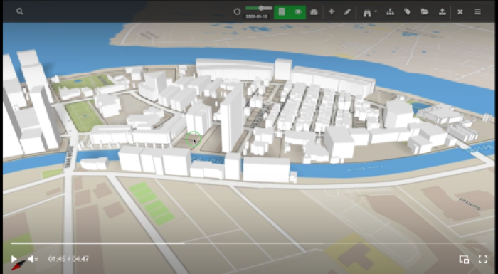
Urbanetic tackled the challenge of generating parametrically modelled 3D digital twins of a 1.1 square kilometer city with the shortage of required data sets. With only cadastral data from the project site, Urbanetic found a cost effective way - combining drone captured photogrammetry with text and geometry files on desktop applications. This made way for the rest of smaller cities with a lack of concrete data from the municipalities as a parametric model can be generated combining Urbanetic's drone service with the help of parametric modelling techniques